Cadcorp SIS Desktop can perform advanced 3D spatial analysis on over 300 different formats of spatial data. Cadcorp SIS® enables consistency of information through its interoperability with a broad range of products.
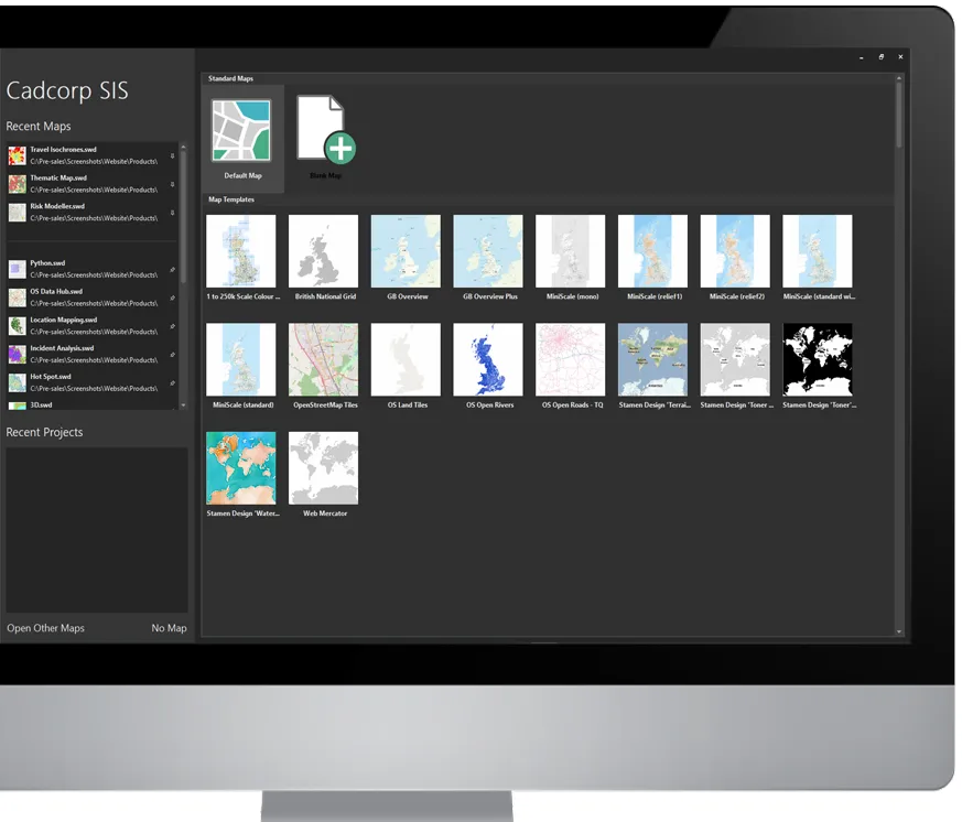
Working with Cadcorp SIS Desktop is a very similar user experience to that of using various Microsoft Office products. It offers a “Backstage View”, a “Recent Maps” list and the ability to pin frequently used maps and products.
Cadcorp SIS Desktop has advanced GIS functionality for the creation and preparation of geographic information. Capabilities include data creation, querying analysis and modelling.
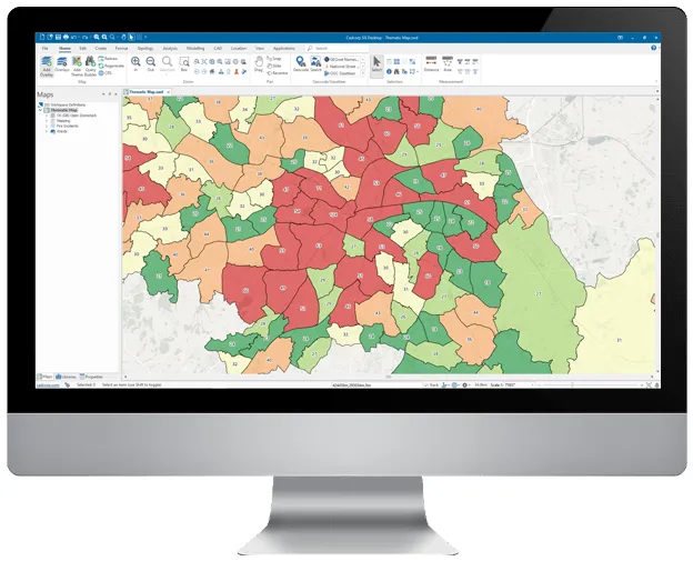
Cadcorp SIS Desktop user interface enables you to construct new map items such as points, line strings, and polygons, and determine their graphic representation. Design cartographic output in the form of thematic maps, in which map items are styled or labelled according to their properties or attribute values.
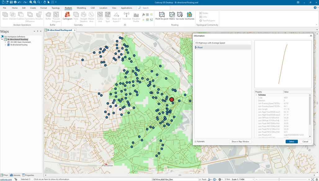
Cadcorp SIS Desktop is capable of presenting network topology that can be created to manage and run routing analysis.
Cadcorp SIS Desktop supports advanced GIS data buffering operations, Thiessen polygon analysis, grid analysis, contour mapping, flow-line generation, clustering, and hotspot mapping.
Cadcorp Emergency Services
Follow this link to Emergency Services clients
Emergency Services